|
|
|||
|
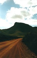
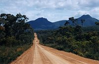
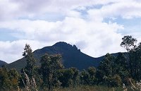
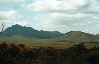
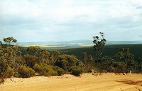
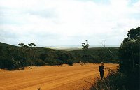
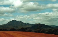
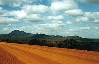
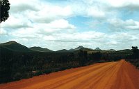
Stirling
Range National Park is located approximately 80 km north of Albany.
Ranges rise abruptly to more than 1000 metres above the sea level.
Many walking tracks exist in the park and a very good 50 km-long gravel
road (Stirling Range Drive) goes through the Park from east to west.
Please click on the image to enlarge it. |
 |
||
 |
 |
 |
 |
 |
 |
 |
 |
|
|
|
|
|